City of Port Moody · City of the Arts
Port Moody Open Data
Find, preview and query the City's open data: council expenses, permits and licences, zoning and the OCP, parks and the full water, sewer and storm inventory.
- 104
- Datasets
- 25
- Tables
- 348k
- Rows and features
Port Moody in layers
What’s at my address?
Your garbage day, zoning and OCP land use, development applications nearby, and the nearest park and playground.
Browse by topic
Every table and map layer on the City's open data site, grouped by topic.
Data story
What does Port Moody’s council claim in expenses?
$462,897 over 2,396 expense lines from 17 elected officials, 2014 to 2025. The City publishes them as 14 separate tables; we put them in one.
Read the story →Popular datasets
Open any dataset to preview it, query it with SQL in your browser, and download it.
 Table
Council & Finance
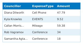
Council Expenses by Councillor (combined)
Every per-councillor "Council Expenses" table on the City's Hub, joined into one table by this demo: 13 tables, 329 expense lines, 2018 to 2025. "Councillor" is the name in each table's title and "SourceDataset" names the table each row cam
 Table
Building, Bylaw & Licensing
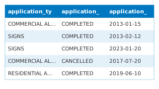
Building Permits
Building permit applications received by the City of Port Moody, beginning January 1, 2013 to present.
 Map · areas
Planning & Development
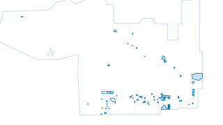
DevelopmentApplicationsView
Development Applications and Milestone map maintained by the Planning department. Use the interactive development applications map to view details on proposed development projects and the milestones they’ve reached within the review process
 Table
Building, Bylaw & Licensing
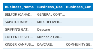
Business Licences
Business licence applications received by the City of Port Moody, beginning January 1, 2015 to present.
 Map · areas
Planning & Development
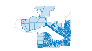
Zoning
Zoning as reflected from 2018 Bylaw 2937, with amendments updated as necessary. This data is refreshed nightly and should reflect current zoning. For definition of zoning districts refer to Zoning Bylaw No. 2937 and amendments thereto.
 Map · areas
Planning & Development
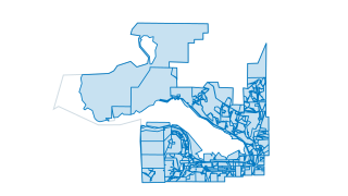
OCP Land Use
Official Community Plan (OCP) Land Use Designations of Port Moody as seen in OCP Map 1
 Table
Building, Bylaw & Licensing
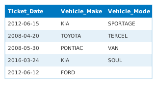
Bylaw Tickets
Bylaw tickets issued by the City of Port Moody beginning January 1, 2008 to present.
 Map · points
Public Safety
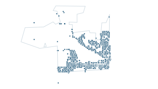
Fire Rescue Incidents
Fire-Rescue incidents beginning January 1, 2009. All points on the map have been randomized and do not represent any actual locations of incidents.
 Table
Building, Bylaw & Licensing
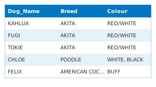
Dog Licences
Active dog licences in the City of Port Moody.
Using the data
Free to reuse
The data is published under the City’s open data terms of use. The City encourages its use to spark innovation, collaboration and better-informed decisions.
Tables and map layers, side by side
Tables open as a preview you can sort, filter and query with SQL; map layers open on a map you can click and query. Everything downloads as CSV or Parquet, map layers also as GeoJSON and map tiles.
Questions about the data?
Contact the City’s open data team at opendata@portmoody.ca.
Helpful resources
- ViewPort
Explore the City's geographic information system (GIS).
- Official Community Plan
The plan behind the OCP land use and proposed storeys layers.
- Plans, reports and publications
Budgets, annual reports and strategies.
- Business directory
Find a business in Port Moody.
Your ArcGIS stays the source
Nothing changes for the GIS team. Layers and tables keep being edited in ArcGIS Online; this site reads them, can refresh on a schedule, and gives residents a faster way in: search across every dataset, tables you can query, maps that load instantly, and an address lookup built from the City’s own layers.