Datasets
104 tables and map layers published by the City of Port Moody on its open data site.
104 results
 Map · areas
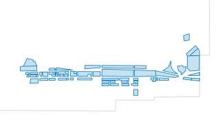
Planning & Development
OCP Proposed Storeys Map 11
Proposed Storeys as seen on OCP Map 11
 Map · areas
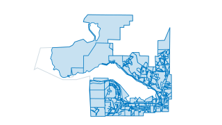
Planning & Development
OCP Land Use
Official Community Plan (OCP) Land Use Designations of Port Moody as seen in OCP Map 1
 Map · points
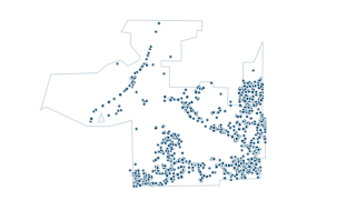
Land & Parcels
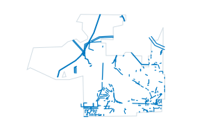
Statutory Rights of Way Labels
Statutory Right of Way (SROW) Plan Number Labels. Not all legal encumbrances are necessarily shown. Specific information regarding land, including charges, liens and interests must be confirmed through records at the Land Title Office.
 Map · lines
Land & Parcels
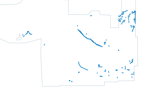
Statutory Rights of Way - Lines
Statutory Right of Way (SROW). Not all legal encumbrances are necessarily shown. Specific information regarding land, including charges, liens and interests must be confirmed through records at the Land Title Office.
 Map · lines
Land & Parcels
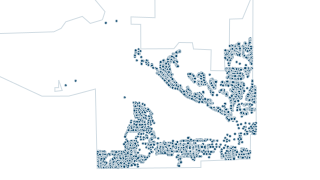
Easement and Covenant - Lines
Easement and Covenants. Not all legal encumbrances are necessarily shown. Specific information regarding land, including charges, liens and interests must be confirmed through records at the Land Title Office.
 Map · points
Land & Parcels
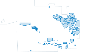
Addresses
Parcel Addresses Label Text - Rotate using the Rotation Field
 Map · areas
Planning & Development
Zoning Development Permit Areas
Data includes Development Permits, Land Use Contracts, North Shore Development Area, Development Variance Permits, and Heritage Revitalization Agreements.
 Map · areas
Community & Recreation
Schools
Schools in Port Moody with Details
 Map · areas
Planning & Development
Heritage Properties
Heritage Properties, Conservation Character Areas in Port Moody
 Map · areas
Planning & Development
Heritage Areas
Heritage Areas in Port Moody
 Map · lines
Land & Parcels
Building Outlines
Building Outlines of High Rise, Low Rise, Multi-Use, Commercial, Institutional and Industrial Buildings
 Map · points
Community & Recreation
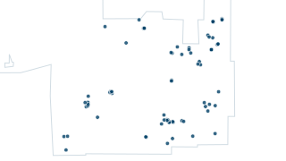
Park Facilities
Parks Facilities and Facility Type Details
 Map · areas
Planning & Development
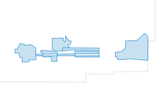
OCP Evergreen Sub Areas
Official Community Plan (OCP) Evergreen Line Sub Areas as stated in OCP Map 11
 Map · areas
Planning & Development
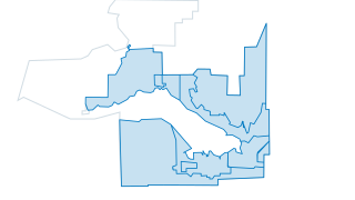
OCP Development Permit Areas
Official Community Plan (OCP) Development Permit Areas
 Map · areas
Environment
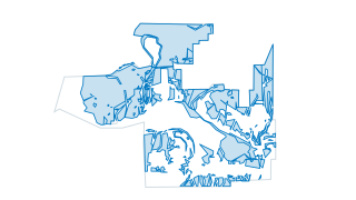
Environmentally Sensitive Areas
Environmentally Sensitive Areas (ESA), designated areas classified as High, Medium, Low, Special Feature / High, and Previous Agreement on Official Community Plan (OCP) Map 13
 Map · lines
Environment
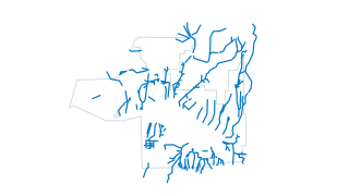
ESA Streams
Environmentally Sensitive Area (ESA) approximate stream locations as seen on Official Community Plan (OCP) Map 13.
 Map · areas
Environment
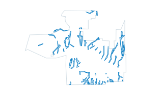
ESA Stream Buffer
Environmentally Sensitive Area (ESA) 30m buffer area around the approximate stream locations in Port Moody, as seen on Official Community Plan (OCP) Map 13.
 Map · lines
Environment
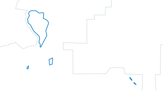
ESA Water Features
Environmentally Sensitive Area (ESA) - approximate location of other water features as seen on Official Community Plan (OCP) Map 13.
 Map · areas
Planning & Development
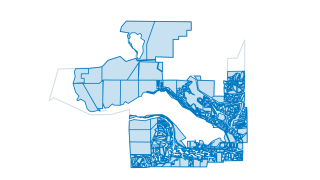
Zoning
Zoning as reflected from 2018 Bylaw 2937, with amendments updated as necessary. This data is refreshed nightly and should reflect current zoning. For definition of zoning districts refer to Zoning Bylaw No. 2937 and amendments thereto.
 Map · lines
Community & Recreation
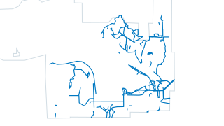
Pathways
Park Pathways in Port Moody with Details
 Map · areas
Community & Recreation
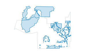
Parks and Greenspace View
Port Moody Parks and Greenspace Details
 Map · areas
Community & Recreation
City Facilities
City Owned Facilities with Details
 Map · areas
Land & Parcels
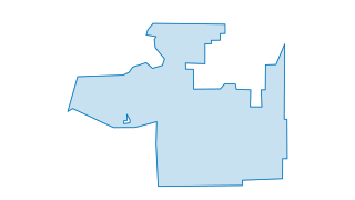
Municipal Boundary
Port Moody Municipal Boundary
 Map · areas
Council & Finance
Business Directory
Current business registered with the City of Port Moody business directory.
 Map · areas
Community & Recreation
Playgrounds in Port Moody
Playgrounds of Port Moody
 Map · points
Community & Recreation
Playground Features
Playground Features
 Map · points
Community & Recreation
Water Parks
Water Parks throughout the City of Port Moody
 Map · points
Community & Recreation
Bleachers and Benches
Bleachers in Port Moody maintained by Parks, dataset from Maintenance Connection
 Map · points
Water, Sewer & Storm
Water PRVs
 Map · points
Water, Sewer & Storm
Water Reservoirs
 Map · points
Water, Sewer & Storm
Water Reducers
 Map · points
Water, Sewer & Storm
Water Meters
 Map · points
Water, Sewer & Storm
Water Check Valve Chamber
 Map · points
Water, Sewer & Storm
Water Cap
 Map · points
Water, Sewer & Storm
Water Valve Chambers
 Map · points
Water, Sewer & Storm
Water Backflow Preventer
 Map · points
Water, Sewer & Storm
Water Blowoffs
 Map · points
Water, Sewer & Storm
Water Backflow Preventer with Meter
 Map · points
Water, Sewer & Storm
Water Blowdowns
 Map · points
Water, Sewer & Storm
Sanitary Air Valve
 Map · points
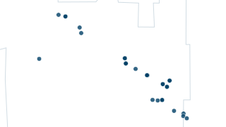
Water, Sewer & Storm
Sanitary Vault
 Map · points
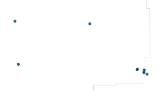
Water, Sewer & Storm
Sanitary Valve
 Map · points
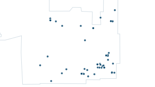
Water, Sewer & Storm
Sanitary Reducer
 Map · points
Water, Sewer & Storm
Sanitary Cap
 Map · points
Water, Sewer & Storm
Sanitary Valve Chamber
 Map · points
Water, Sewer & Storm
Sanitary Pump Station
 Map · points
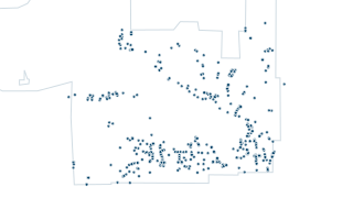
Water, Sewer & Storm
Sanitary Cleansing Station
 Map · points
Water, Sewer & Storm
Storm Drainage Utility Features
Storm Drainage Utility System, Caps Structures, Inlets and Outlets
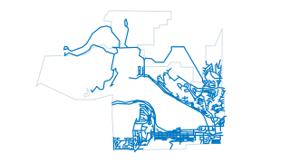 Map · lines
Transportation
Transportation Roads
Road Network Road Centreline Assets and Details
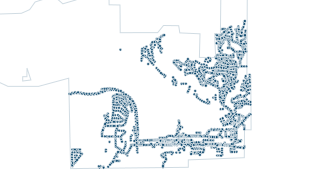 Map · points
Transportation
Transportation Street Lights
Road Network Electrical Utility Street Lights
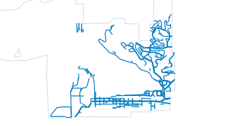 Map · lines
Transportation
Transportation Sidewalks
Road Network Sidewalk Assets and Details
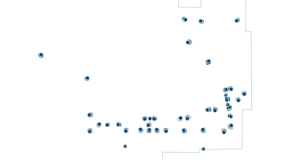 Map · points
Transportation
Transportation Traffic Lights
Road Network Electrical Utility Traffic Lights
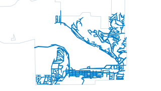 Map · lines
Transportation
Transportation Curb Gutters
Road Network Curb Gutter Assets and Details
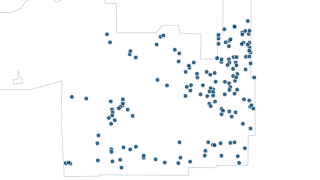 Map · points
Water, Sewer & Storm
Water Air Valves
Water Air Valve Utility Assets and Details
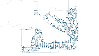 Map · points
Water, Sewer & Storm
Water Valves
Water Valve Utility Assets and Details
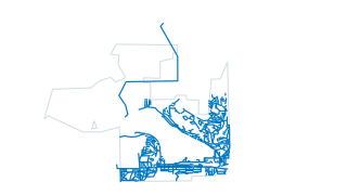 Map · lines
Water, Sewer & Storm
Water Mains
Water Main Utility Network Assets and Details
 Map · lines
Water, Sewer & Storm
Water Service Connections
Water Service Connection Utility Assets and Details
 Map · points
Public Safety
Water Fire Hydrants
Water Utility Fire Hydrant Assets and Details
 Map · lines
Water, Sewer & Storm
Sanitary Service Connections
Sanitary Utility System - Sanitary Service Connection Assets and Details
 Map · points
Water, Sewer & Storm
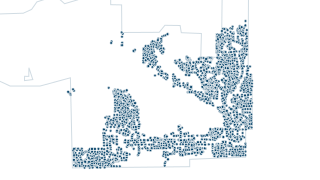
Sanitary Manholes
Sanitary Utility System - Sanitary Manhole Assets and Details
 Map · points
Water, Sewer & Storm
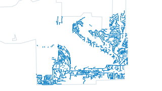
Storm Manholes
Storm Manhole Utility Assets and Details
 Map · lines
Water, Sewer & Storm
Storm Mains
Storm Main Utility Network Assets and Details
 Map · lines
Water, Sewer & Storm
Storm Service Connections
Storm Service Connection Utility Asset and Details
 Map · points
Water, Sewer & Storm
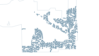
Storm Catch Basins
Storm Catch Basin Utility Assets and Details
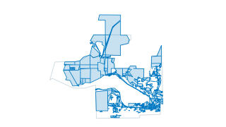 Map · areas
Land & Parcels
Parcels WGS - Geometry Only
Parcels of Port Moody - Geometry only, no attribution.
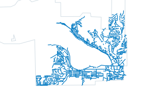 Map · lines
Water, Sewer & Storm
Sanitary Mains
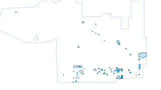 Map · areas
Planning & Development
DevelopmentApplicationsView
Development Applications and Milestone map maintained by the Planning department. Use the interactive development applications map to view details on proposed development projects and the milestones they’ve reached within the review process
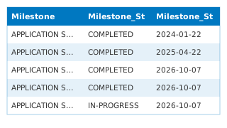 Table
Planning & Development
Milestones
Development Applications and Milestone map maintained by the Planning department. Use the interactive development applications map to view details on proposed development projects and the milestones they’ve reached within the review process
 Table
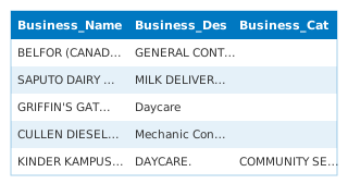
Building, Bylaw & Licensing
Business Licences
Business licence applications received by the City of Port Moody, beginning January 1, 2015 to present.
 Table
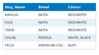
Building, Bylaw & Licensing
Dog Licences
Active dog licences in the City of Port Moody.
 Table
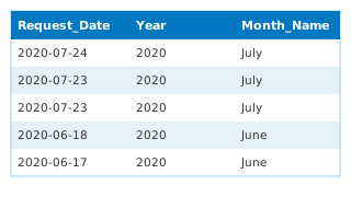
Waste & Recycling
Cart Resize Report
Cart Resize Report
 Table
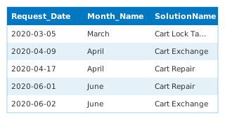
Waste & Recycling
Cart Bear Damage Report
Cart Bear Damage Report
 Table
Building, Bylaw & Licensing
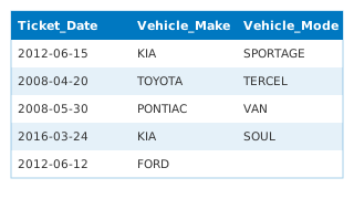
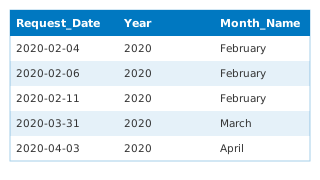
Bylaw Tickets
Bylaw tickets issued by the City of Port Moody beginning January 1, 2008 to present.
 Table
Waste & Recycling
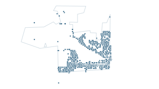
Illegal Dumping Report
Illegal Dumping Report
 Map · points
Public Safety
Fire Rescue Incidents
Fire-Rescue incidents beginning January 1, 2009. All points on the map have been randomized and do not represent any actual locations of incidents.
 Table
Building, Bylaw & Licensing
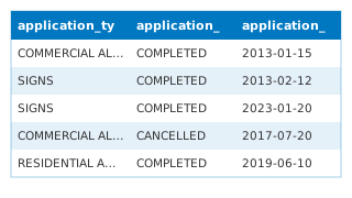
Building Permits
Building permit applications received by the City of Port Moody, beginning January 1, 2013 to present.
 Table
Council & Finance
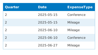
Council Expenses - Callan Morrison
Councillor Callan Morrison Community & Event Expenses beginning Jan 1, 2014 to present.
 Table
Council & Finance
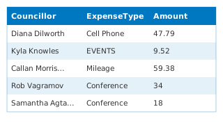
Council Expenses by Councillor (combined)
Every per-councillor "Council Expenses" table on the City's Hub, joined into one table by this demo: 13 tables, 329 expense lines, 2018 to 2025. "Councillor" is the name in each table's title and "SourceDataset" names the table each row cam
 Table
Council & Finance
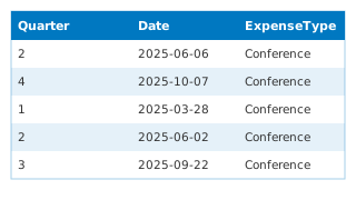
Council Expenses - Haven Lurbiecki
Councillor Haven Lurbiecki Community & Event Expenses beginning Jan 1, 2014 to present.
 Table
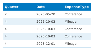
Council & Finance
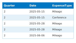
Council Expenses - Kyla Knowles
Councillor Kyla Knowles Community & Event Expenses beginning Jan 1, 2014 to present.
 Table
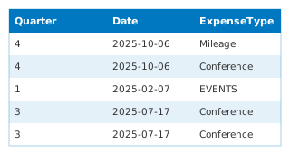
Council & Finance
Concil Expenses - Samantha Agtarap
Councillor Samantha Agtarap Community & Event Expenses beginning Jan 1, 2014 to present.
 Table
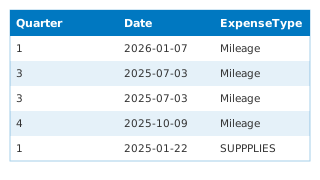
Council & Finance
Council Expenses - Amy Lubik
Councillor Amy Lubik Community & Event Expenses beginning Jan 1, 2014 to present.
 Table
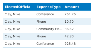
Council & Finance
Council Expenses - Meghan Lahti
Councillor Meghan Lahti Community & Event Expenses beginning Jan 1, 2014 to present.
 Table
Council & Finance
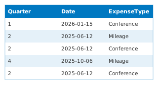
Council Expenses
Council Expenses
 Table
Council & Finance
Council Expenses - Diana Dilworth
Councillor Diana Dilworth Community & Event Expenses beginning Jan 1, 2014 to present.
 Map · points
Land & Parcels
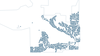
Site Structure Address Point
Site Structure Addresses Point
 Map · points
Community & Recreation
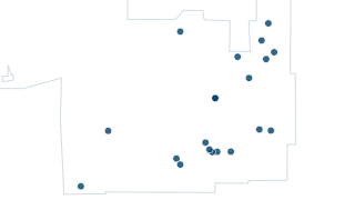
Water Fountains
Water Fountains in Port Moody both display and drinking fountains
 Table
Council & Finance
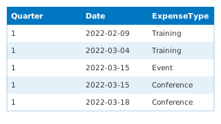
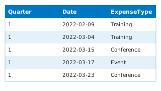
Council Expenses - Rob Vagramov
Mayor Rob Vagramov Community & Event Expenses beginning Jan 1, 2014 to present.
 Table
Council & Finance
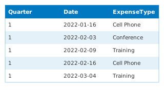
Council Expenses - Zoe Royer
Councillor Zoe Royer Community & Event Expenses beginning Jan 1, 2014 to present.
 Table
Council & Finance
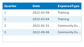
Council Expenses - Steve Milani
Councillor Steve Milani Community & Event Expenses beginning Jan 1, 2014 to present.
 Table
Council & Finance
Council Expenses - Hunter Madsen
Councillor Hunter Madsen Community & Event Expenses beginning Jan 1, 2014 to present.
 Map · areas
Waste & Recycling
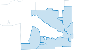
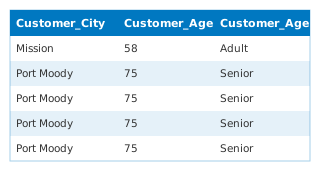
Solid Waste Zones
 Table
Community & Recreation
Recreation Programs
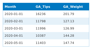
Recreation program registrations in the City of Port Moody, beginning January 1, 2012 to present.
 Table
Waste & Recycling
Waste Diversion Rates Monthly Totals
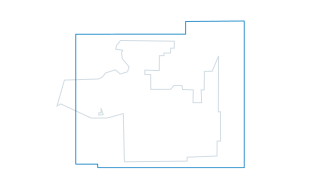
Waste Diversion Rates Monthly Totals
 Map · areas
Environment
Orthophoto Tile Boundary and Download Link
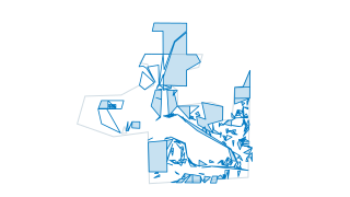
This dataset contains a feature layer of the orthophoto tile boundary. This includes all of Port Moody. The attribute table has links for Orthophoto download via Amazon Web Services, upon clicking the link the download will start right away
 Map · areas
Land & Parcels
Parcel Information
Parcels of Port Moody - Geometry only, no attribution.
 Map · lines
Environment
Contours 1m
Contour at 1m Interval and Depressions for Developed and Undeveloped Regions
 Map · areas
Environment
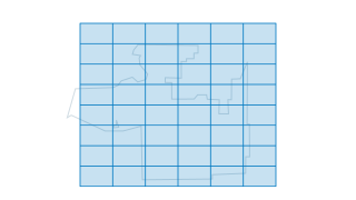
Lidar Tile Boundaries and Download Links
This dataset contains a feature layer of orthophoto and lidar tile boundaries. This includes AA07-E14. The attribute table has links for LiDAR downloads via Amazon Web Services, upon clicking the link the download will start right away.
 Map · points
Water, Sewer & Storm
Water Pump Stations
 Table
Council & Finance
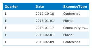
Council Expenses - Mike Clay
Mayor Mike Clay Community & Event Expenses beginning Jan 1, 2014 to present.
 Table
Council & Finance
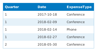
Council Expenses - Barbara Junker
Councillor Barbara Junker Community & Event Expenses beginning Jan 1, 2014 to present.
 Map · lines
Environment
Contours 5m
Contour at 5m Interval and Depressions for Developed and Undeveloped Regions
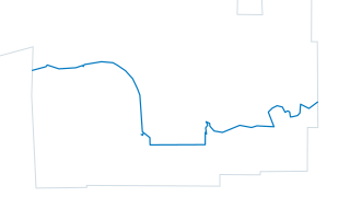 Map · lines
Community & Recreation
Trans Canada Trail
General Alignment of Trans Canada Trail in Port Moody
 Map · areas
Land & Parcels
Cadastral Water and Surrounding Areas
Cadastral Water and Surrounding Areas of Port Moody